
Discover our services: Laser Scanning and Drone Mapping in Louisiana
For Architects
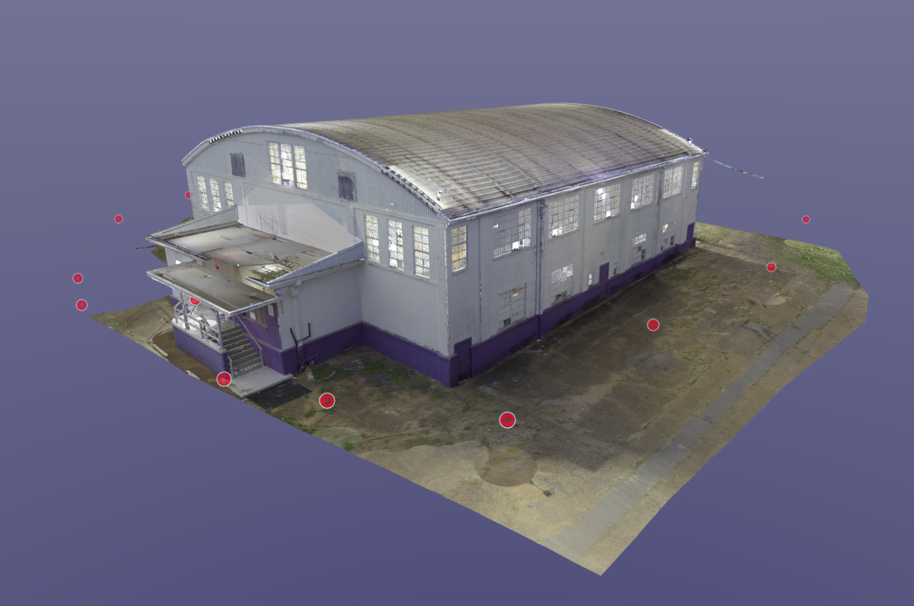
Our 3D laser scans give you the exact existing conditions before design begins—no missed dimensions, no guesswork. Integrate our point clouds and models directly into Revit or AutoCAD to save time and avoid costly redesigns.

For COntractors
We capture job sites with millimeter-level accuracy before and during construction, so you can eliminate rework, verify as-builts, and keep your schedule on track. From preconstruction planning to final QA, we deliver the data your team can trust.
For Engineers
Our LiDAR scans provide the foundation for accurate analysis, clash detection, and modeling. Whether structural, civil, or MEP, you get true-to-life geometry for coordination and design validation.

Leica rtc360 Laser Scanner
Capture every detail with millimeter accuracy. The Leica RTC360 produces high-resolution 3D scans that form the foundation for precise design, verification, and documentation.
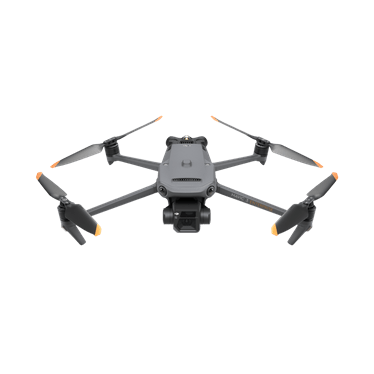
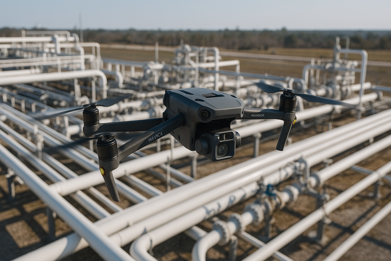
Mavic 3 Enterprise
Precision aerial mapping made simple. The DJI Mavic 3E delivers RTK-accurate topographic data and crystal-clear imagery for surveying, site mapping, and construction analysis.
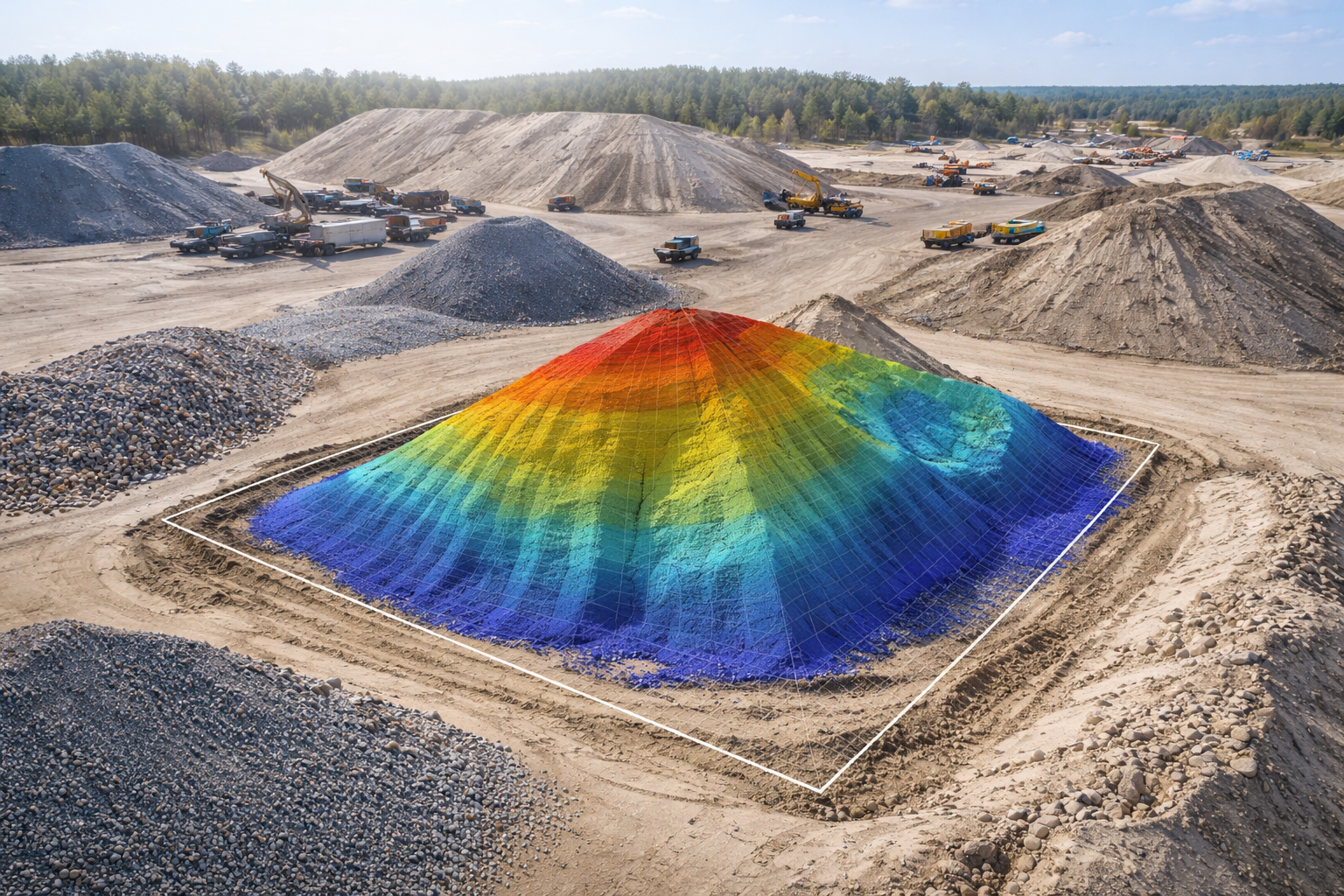
Volumetric Stockpile Measurement
Accurately quantify material volumes using advanced drone-based 3D modeling. Our process delivers fast, reliable measurements of sand, gravel, dirt, and aggregate stockpiles, helping you manage inventory, verify quantities, and track project progress with confidence.
Accurate. Efficient. Reliable.
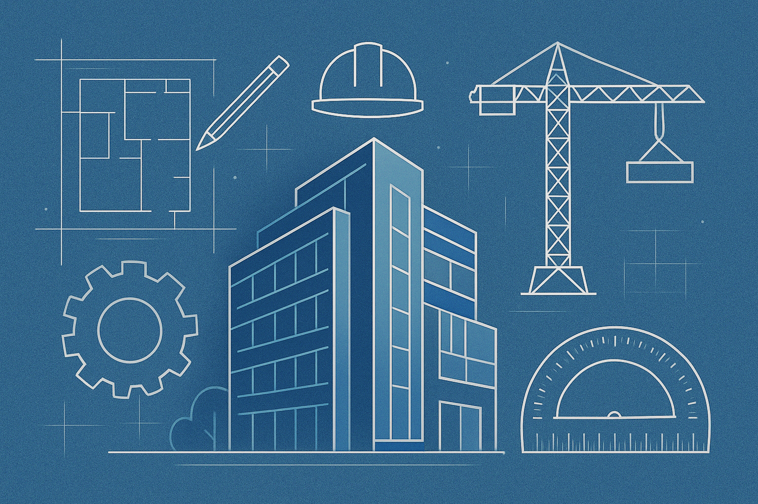
Empowering design teams with accurate, build-ready data

About Us
Founded in 2025, Precision Laser and LiDAR was created to bring modern solutions to long-standing inefficiencies in the building and design process. Our founder, Peyton Hebert, holds a degree in Engineering and Technology Management and began his career in the construction industry.
After witnessing the constant back-and-forth of RFIs between architects and field teams, Peyton recognized a critical gap: the need for accurate, on-demand site data to improve collaboration and reduce costly delays. This inspired a mission to bridge the divide between field conditions and design teams — using cutting-edge laser scanning, LiDAR, and 3D modeling to deliver clarity where it's needed most.
To strengthen that mission, Peyton teamed up with Eric Burson of First Responders Accident Reconstruction, leveraging Eric’s extensive field experience and forensic precision. This collaboration combines construction insight with expert-level spatial documentation, ensuring our clients benefit from the highest standards of technical accuracy, responsiveness, and innovation.

Our
brand vision
Integrating laser scanning into your design process transforms the way you plan, document, and execute projects. It accelerates workflows, eliminates guesswork with precise measurement data, and empowers your design team to respond rapidly to field RFIs. Adopting this technology now positions your firm at the forefront of innovation in a tech-driven industry. Precision Laser and LiDAR serves architects, engineers, and contractors across Louisiana, including Lafayette, Baton Rouge, New Orleans, Lake Charles, and surrounding areas.
Additional Applications:
Construction Progress Monitoring
Capture scans at key construction milestones to verify that built conditions align with design intent (e.g., open wall inspections).Drone Documentation
Use drone imagery throughout the project lifecycle for powerful marketing visuals and accurate project documentation.Accurate As-Builts & Floor Plans
Produce reliable, updated plans for existing buildings—critical for renovations, ownership changes, or code compliance.
Contact Us
Interested in working together? Fill out some basic information and we will be in touch shortly. We can’t wait to hear from you!
