Leica RTC360: Fast. Accurate. Game-Changing.
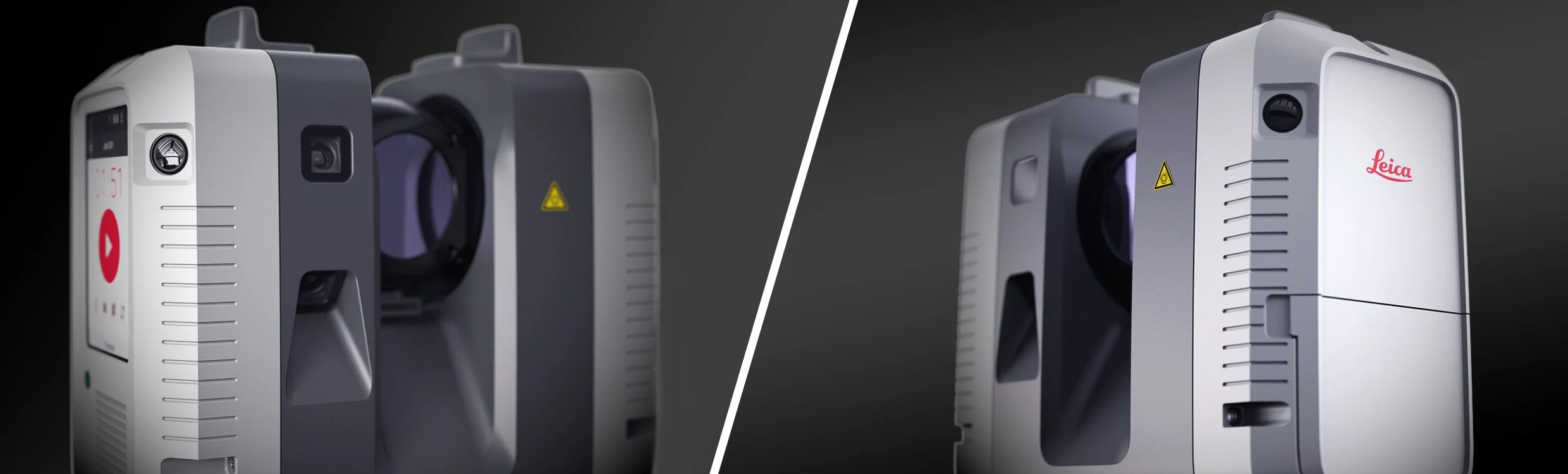
At Precision Laser and LiDAR, we use the Leica RTC360, one of the most advanced terrestrial laser scanners on the market — because precision matters.
The RTC360 captures high-resolution 3D data of buildings and spaces at millimeter-level accuracy, making it the perfect tool for creating as-built documentation, floor plans, and Revit-ready models.
What Makes the RTC360 Stand Out?
Millimeter Accuracy
Achieves 3D positional accuracy of ±1 mm at 10 meters, providing clean, reliable geometry ideal for design and remodel workflows.HDR Imaging + RealColor
Combines precision laser data with high-quality imagery to produce photorealistic point clouds.Inertial Measuring Unit (IMU)
Auto-tracks scanner orientation and movement, automatically registering each scan to the next in real time.Compact & Mobile
The RTC360 is tripod-mounted but easily transported, allowing us to scan anywhere from tight interior spaces to large exteriors with ease.Ultra-Fast Scanning
Captures up to 2 million points per second, completing full scans in under 2 minutes per setup. That means less time on-site, and more results delivered to you — fast.
Why It Matters for You?
Whether you're starting a remodel, managing a construction project, or just need accurate as-builts for design, the RTC360 allows us to deliver:
Precise floor plans
3D models
Quick turnaround documentation
On-demand site verification
No guesswork. No hand measurements. Just clarity from day one.