DJI Mavic 3 Enterprise: Aerial Intelligence with Precision
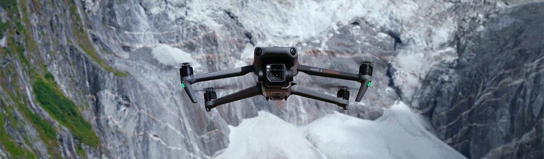
To complement our terrestrial scanning, we use the DJI Mavic 3 Enterprise (M3E) — a compact, high-resolution drone engineered for professional-grade mapping and site documentation.
The M3E allows us to rapidly capture aerial data, generate orthomosaic maps, and deliver site-wide 2D and 3D visuals — all with centimeter-level accuracy when paired with RTK (Real-Time Kinematic) positioning.
Key Features that Set It Apart
RTK Precision
When enabled, achieves sub-inch accuracy — ideal for aligning aerial maps with terrestrial scans or CAD overlays.4/3 CMOS Wide Camera
Shoots 20MP stills and sharp video for clear site overviews, orthophotos, and elevation models.Extended Flight Time
Up to 45 minutes per flight, covering large properties or building sites in a single mission.Smart Obstacle Avoidance
360° sensors ensure safe, automated flights even in complex environments.Fast Deployment
Lightweight and mobile — fully deployed in minutes, making it ideal for regular progress updates or last-minute site scans
Why Aerial Data Matters
Whether you're designing a new build, planning an addition, or reviewing site conditions, our drone captures:
High-resolution orthomosaic maps
2D site plans and elevation overviews
3D terrain models with topographical accuracy
The DJI Mavic 3 Enterprise allows us to provide a complete visual context — from roofline to property line — making your decisions more informed and your drawings more precise.