
For Engineers
Precise Data for Precise Design
Engineering decisions rely on accurate measurements. Whether you’re designing structural reinforcements, analyzing utilities, or coordinating MEP systems, Precision Laser and LiDAR provides the high-resolution data you need to engineer with confidence.
Our scans capture the true geometry of your site — so your calculations, models, and field layouts start from verified conditions.
How We Help Engineers
We provide engineers with actionable, high-accuracy scan data that supports analysis, modeling, and coordination across all disciplines.
Our scans and deliverables help you:
Obtain exact structural and dimensional data for analysis
Perform as-built verification for QA/QC and design validation
Detect field conflicts early between MEP, civil, and architectural systems
Confirm elevations, slopes, and tolerances for site grading and drainage
Generate cross sections and profiles directly from point cloud data
When to Use Laser Scanning
Structural or civil design tied to existing conditions
MEP coordination and clash detection
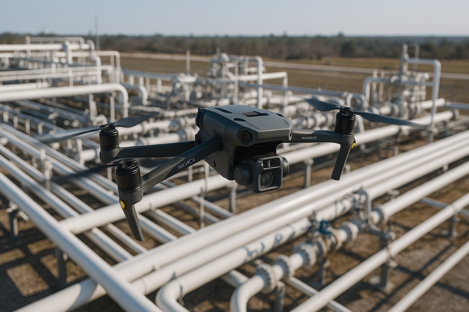
Infrastructure and plant expansion projects
Foundation and slab monitoring
Utility mapping and verification
Our Deliverables
We tailor data output to engineering workflows, ensuring immediate usability.
Registered point cloud in preferred format
3D models and geometric data for CAD or Revit
Deviation analysis reports showing tolerance differences
Topographic surfaces, contours, and grading maps
High-resolution orthophotos and annotated site imagery
Why Engineers Choose Precision Laser and LiDAR
Engineers trust us because accuracy drives everything we do.
Our scans deliver the precision and clarity needed for sound design and efficient coordination.