For Architects
Design with Confidence from Verified Data
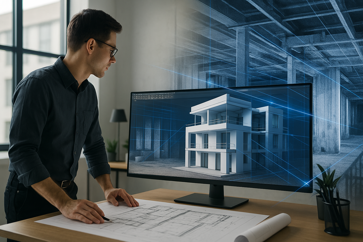
Architectural design starts with accuracy. Whether you’re working on a renovation, expansion, or new construction tied to existing structures, every inch matters.
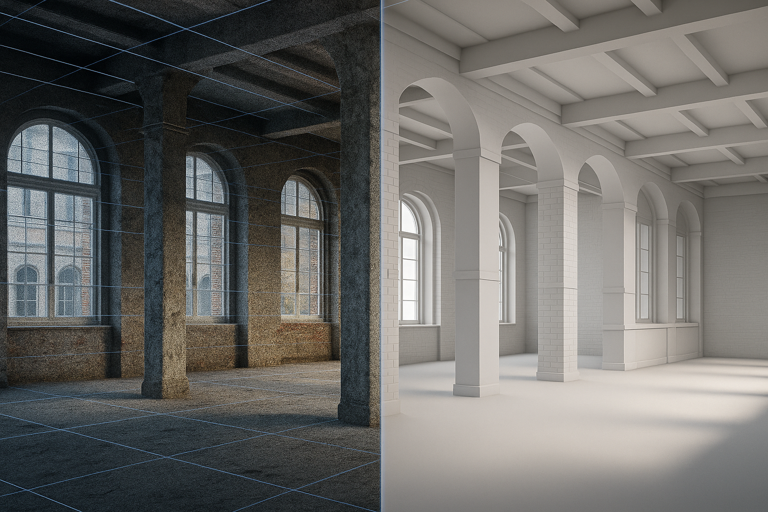
Precision Laser and LiDAR captures your project in full 3D detail, giving you the truth about what exists before design begins.
How We Help Architects
We deliver laser-accurate as-built documentation that integrates directly with your design process — eliminating guesswork and preventing costly field conflicts later on.
Our scans and deliverables allow you to:
Replace field measurements with a single, comprehensive 3D dataset
Import registered point clouds directly into Revit or AutoCAD
Generate 2D floor plans, elevations, and sections from verified geometry
Reference high-resolution panoramic imagery throughout design
Confidently coordinate with engineers and contractors
When to Use Laser Scanning
Renovations and additions
Historic preservation and restoration
Adaptive reuse and interior redesigns
Verification of as-built conditions after construction
Site capture before selective demolition
Our Deliverables
Every project is customized to your workflow. You’ll receive:
Registered point cloud from Leica RTC360
Cleaned and aligned 3D model in Revit or DWG format
2D CAD drawings and PDFs as needed
Annotated site imagery with critical measurements
Optional fly-through or virtual walkthrough for design review meetings
Why Architects Choose Precision Laser and LiDAR
We understand the architectural process — from schematic design through construction administration.
Our mission is to make your job easier by giving you confidence that your plans reflect real-world conditions.
Fewer site visits. Fewer revisions. Fewer surprises.
That’s what verified field data delivers.